
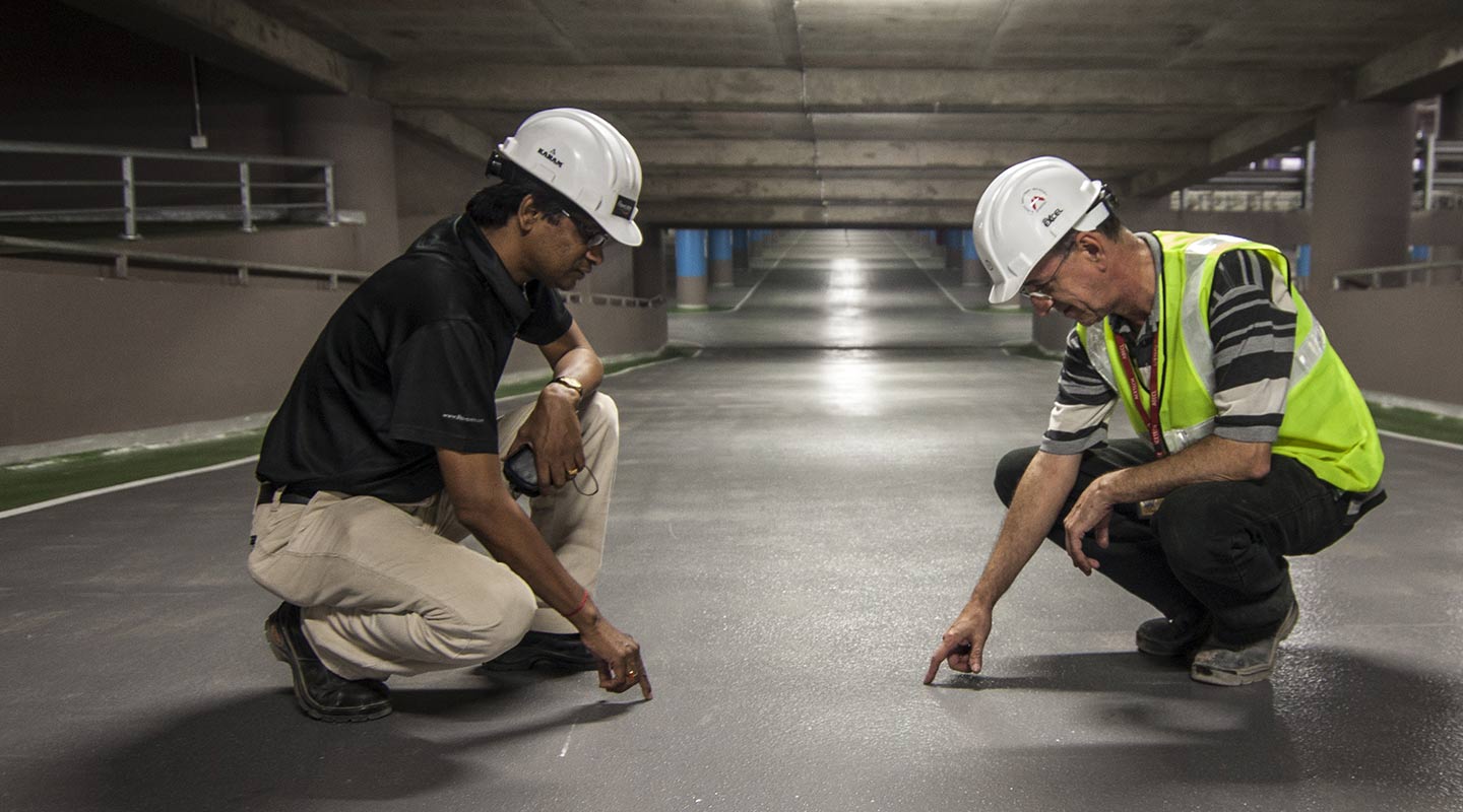
Drone Survey
Professional Drone Surveys, Mapping and Inspections for Property, Construction and Land across the North West.
Drone Surveys
Clear aerial imagery and useful survey information for buildings, land and project sites.
View Service
Drone Mapping
Detailed aerial mapping to support site planning, land assessment and project decision-making.
View Service
Drone Roof Inspections
High-quality aerial imagery of roofs and elevated areas without immediately relying on scaffolding.
View Service
Construction Site Surveys
Aerial site imagery to document progress, support project teams and create a clear visual record.
View Service
Planning a drone survey?
Tell us about your Property, Land or Construction Site and the information you need.




Air Map Survey
Lorem Ipsum is simply dummy of printing and typesetting and industry. Lorem Ipsum been.